Galtymore Walking Route
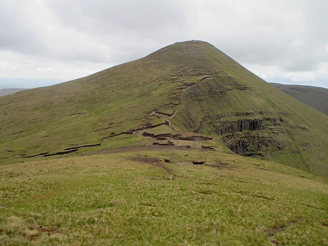
![]() This walk climbs to Galtymore mountain in the Galty Mountains area of County Tipperary.
This walk climbs to Galtymore mountain in the Galty Mountains area of County Tipperary.
The mountain stands at a height of 917.9 metres (3,011 ft 6 in) making it the highest of the Galty Mountains.
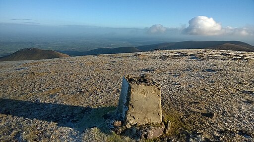
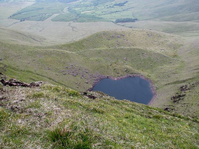
The walk starts from the parking area at Glengarra Wood and then heads south passing the picturesque Lough Curra. The route then turns east heading up to the summit of Galtymore where you can enjoy some wonderful views over the surrounding area.
Galtymore Open Street Map  - view and print off detailed map
Ireland Walking Map - View All the Routes in the Country>>
Galtymore Open Street Map  - Mobile GPS Map with Location tracking
Further Information and Other Local Ideas
The Galtees, Ireland’s highest inland mountain range, are home to the Galtymore peak, which stands at 3,009 feet, making it the tallest peak in the range.
The mountains are dotted with several corrie lakes, including Lough Musky, Lough Curra, and Lough Bohreen.
The predominant habitats in the Galtees are dry heath, alpine heath, and grassland, with patches of blanket bog on the higher slopes.
These mountains support communities of rare arctic-alpine plants, including species like the Small-white Orchid, Green Spleenwort, Mountain Sorrel, and Alpine Saw-wort. Sheep farming is common in both the upland and lowland areas of the range.
Moanour Mountain, an outlier of the Galtee Mountains, includes areas designated as a Special Area of Conservation (SAC).
This protection is due to the presence of species-rich Nardus grassland, a habitat listed in Annex 1 of the EU Habitats Directive.
Nestled between the Galtee Mountains and the Slievenamuch Ridge is the scenic Glen of Aherlow, a favourite destination for hill walkers.
The valley is also rich in historical and early Christian sites, including St Pecaun’s Holy Well & Kyle, and St Sedna’s Well in Clonbeg Churchyard.
To the north there's a popular loop walk around the Glen Of Aherlow where you'll find some stunning scenery and peaceful woodland trails.


