Gowbarrow Fell
![]()
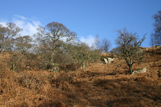
![]() This circular walk visits Aira Force Waterfall before climbing to Gowbarrow Fell above Ullswater Lake. The route uses a section of the Ullswater Way long distance trail to take you around Gowbarrow Park where there's pretty becks, woodland and wonderful views from the high points.
This circular walk visits Aira Force Waterfall before climbing to Gowbarrow Fell above Ullswater Lake. The route uses a section of the Ullswater Way long distance trail to take you around Gowbarrow Park where there's pretty becks, woodland and wonderful views from the high points.
The park was previously a medieval hunting-park, which belonged to the lords of Greystoke. The fell, along with 750 acres of the park, were bought by the National Trust in 1906.
Start the walk from the National Trust Aira Force car park, just off the A592. Pick up the trails heading north through ancient woodland to the spectacular 65ft high waterfall.
The route continues north towards Dockray where you turn east to climb to the Gowbarrow summit.
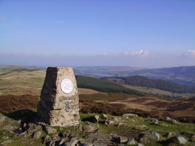
The fell stands at a height of 481 m (1,578 ft), commanding wonderful views over Ullswater Lake, Red Screes, Helvellyn, Blencathra, Bannerdale and Carrock Fell.
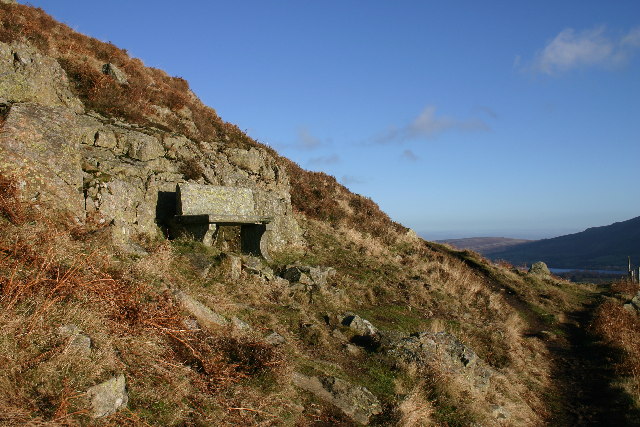
After taking in the views you continue east towards the remains of the old shooting lodge. The route then descends to Collier Hagg and the Memorial Seat, where you turn west. The final section takes you past Bernard Pike and the 18th century hunting lodge of Lyulph's Tower. Shortly after you return to the finish point back at the car park.
If you prefer you can start the walk from nearby Glenridding and follow the Glenridding to Aira Force Walk to reach the falls. It takes you along the lake and through Glencoyne Park, an area just to the west of the fell which inspired William Wordsworth to write the poem 'I Wandered Lonely as a Cloud'.
In Glenridding you can also pick up the Howtown to Glenridding Walk which is another major highlight of the area.
There's also the option of continuing along the Ullswater Way towards Pooley Bridge through Matterdale.
Gowbarrow Fell Ordnance Survey Map  - view and print off detailed OS map
Gowbarrow Fell Open Street Map  - view and print off detailed map
Gowbarrow Fell OS Map  - Mobile GPS OS Map with Location tracking
Gowbarrow Fell Open Street Map  - Mobile GPS Map with Location tracking
Further Information and Other Local Ideas
Just over 2 miles north of the hill there's another fine climb to Great Mell Fell to try. The fell is owned by the National Trust and inlcudes some pleasant woodland trails with fine views from the 537 metre high summit.
For more walking ideas in the area see the Lake District Walks page.


