Hamford Water National Nature Reserve
![]()
![]() Follow the Naze wildlife trail on this walk in the Hamford Water National Nature Reserve. The area is an internationally important site for migrating birds and includes the famous fifty million year old cliffs made up of London clay.
Follow the Naze wildlife trail on this walk in the Hamford Water National Nature Reserve. The area is an internationally important site for migrating birds and includes the famous fifty million year old cliffs made up of London clay.
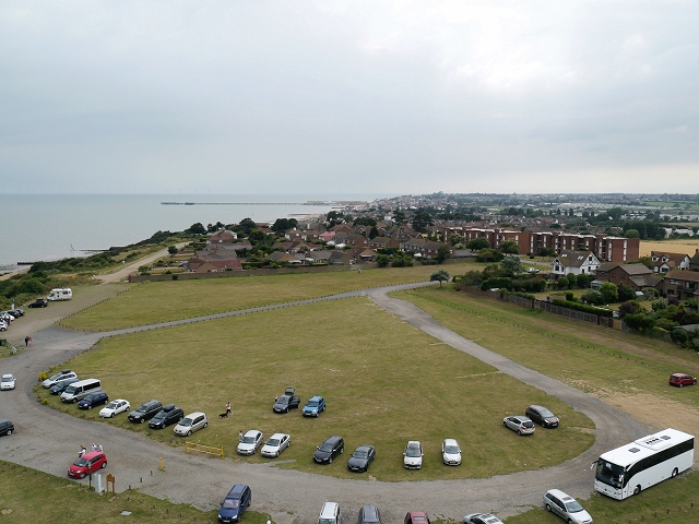
You can park at the Naze Centre on Hall Lane to pick up the nature trail. The centre is known as the gateway to Hamford Water, the most easterly peninsula in Essex. The trails lead north from the car park to the lake and John Weston nature reserve. It's a splendid place for wildlife watching with thousands of wildfowl to look out for. These include Dark Bellied Brent Geese, Sedge Warbler and Whitethroat. Also keep your eyes peeled for Common and Grey Seals in the less disturbed areas of Hamford Water.
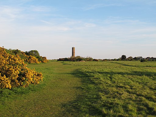
The site also includes the 18th century Naze Tower. The navigational tower, was constructed to assist ships on this stretch of coast. You can climb the 111-step spiral staircase to the top of the tower for splendid views of the surrounding coast countryside.
Local cycle route 150 runs along the coast to the reserve from Walton-on-the-Naze train station.
Our Walton on the Naze Crag Walk starts from Naze Tower car park. It takes you to the coastal defences around the eroding cliffs before heading along the prom to the pier.
Postcode
CO14 8LE - Please note: Postcode may be approximate for some rural locationsHamford Water Ordnance Survey Map  - view and print off detailed OS map
Hamford Water Open Street Map  - view and print off detailed map
Hamford Water OS Map  - Mobile GPS OS Map with Location tracking
Hamford Water Open Street Map  - Mobile GPS Map with Location tracking
Cycle Routes and Walking Routes Nearby
Photos
Naze Cliffs, Walton-on-the-Naze, Essex. This photograph shows the devastating effect of the constant east/north east winds of late. The beach is scoured away exposing the cliff to erosion. The base of the cliff is formed of London Clay, the upper part is formed of Red Crag
The Red Crag cliffs at Walton on the Naze. These well known fossil bearing cliffs are the home of the famous "Left Handed" Whelk.


