John Buchan Way
![]()
![]() A walk through the Scottish borders named after John Buchan, the author of The Thirty-Nine Steps, who lived in the area.
A walk through the Scottish borders named after John Buchan, the author of The Thirty-Nine Steps, who lived in the area.
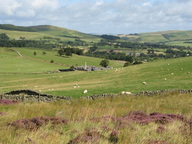
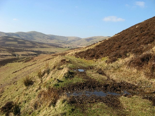
The walk runs from Broughton to Peebles and passes the Broughton Hills, Stobo Castle, The Glack and Cademuir Hill. There are also regular views of the River Tweed to enjoy on this beautiful walk.
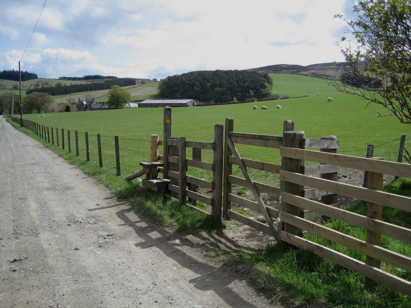
The route is waymarked with a JBW logo.
John Buchan Way Ordnance Survey Map  - view and print off detailed OS map
John Buchan Way Open Street Map  - view and print off detailed map
John Buchan Way OS Map  - Mobile GPS OS Map with Location tracking
John Buchan Way Open Street Map  - Mobile GPS Map with Location tracking
Further Information and Other Local Ideas
In Peebles you can pick up the Tweed Valley Railway Path and enjoy a walk or cycle along this multi user path. You can also access the excellent mountain bike trails and waymarked walks in the expansive Glentress Forest and pick up the Gypsy Glen Walk from the route.
In the town there's also the Neidpath Tunnel Walk. This will take you along the old railway line to the Neidpath Viaduct before entering the murky tunnel.
The Cross Borders Drove Road passes through Peebles too. It runs north to Harperrig Reservoir in the Pentland Hills or south to Hawick.
Cycle Routes and Walking Routes Nearby
Photos
Footbridge over the Hollows Burn. This is a fairly new bridge on the John Buchan Way, a footpath running between Broughton and Peebles. It crosses the Hollows Burn just beside the ford indicated on the OS 1:50,000 map.


