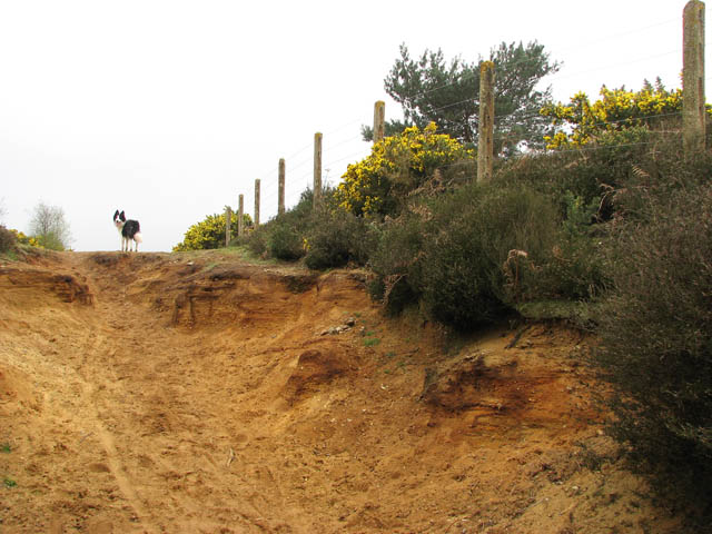
Kelling Heath
![]()
![]() This large area of heathland near Sheringham includes miles of footpaths taking you to heather, western gorse, bracken, and mixed woodland. The walk starts from Kelling Heath Park railway station on the North Norfolk Railway (NNR). You can catch the heritage steam railway from Sheringham or Holt. From the station you can pick up footpaths taking you through Hundred Acre Wood and around the popular Kelling Heath holiday park. Then head north across the railway line to a large area of heathland. You'll pass Telegraph Hill and Holgate Hill before following a path along the railway line back to the station.
This large area of heathland near Sheringham includes miles of footpaths taking you to heather, western gorse, bracken, and mixed woodland. The walk starts from Kelling Heath Park railway station on the North Norfolk Railway (NNR). You can catch the heritage steam railway from Sheringham or Holt. From the station you can pick up footpaths taking you through Hundred Acre Wood and around the popular Kelling Heath holiday park. Then head north across the railway line to a large area of heathland. You'll pass Telegraph Hill and Holgate Hill before following a path along the railway line back to the station.
The heath is good for wildlife spotting. Look out for heathland birds including nightjar, whitethroat and tree pipit. The dry conditions on the heath are also favourable to reptiles such as common lizard and adder.
It's easy to extend the walk in the adjacent Sheringham Park. The park is located just a short stroll from the heath and includes woodland trails, beautiful landscaped gardens full of rhododendrons and fabulous views of the Norfolk coast.
You can also head to Sheringham to pick up the Peddars Way and Norfolk Coast Path and try the Cromer to Sheringham coastal walk.
Kelling Heath Ordnance Survey Map  - view and print off detailed OS map
Kelling Heath Open Street Map  - view and print off detailed map
Kelling Heath OS Map  - Mobile GPS OS Map with Location tracking
Kelling Heath Open Street Map  - Mobile GPS Map with Location tracking
Further Information and Other Local Ideas
Just to the east you can pick up the West Runton and Beeston Bump Circular Walk. This will take you up to the highest point in Norfolk and an ancient Roman Camp.
The Salthouse Circular Walk starts from the nearby coastal village and visits Weybourne and the heath.
For more walking ideas in the area see the Norfolk Walks page.


