Lochnagar
![]()
![]() This challenging walk climbs to Lochnagar Mountain in the Grampians of Scotland.
This challenging walk climbs to Lochnagar Mountain in the Grampians of Scotland.
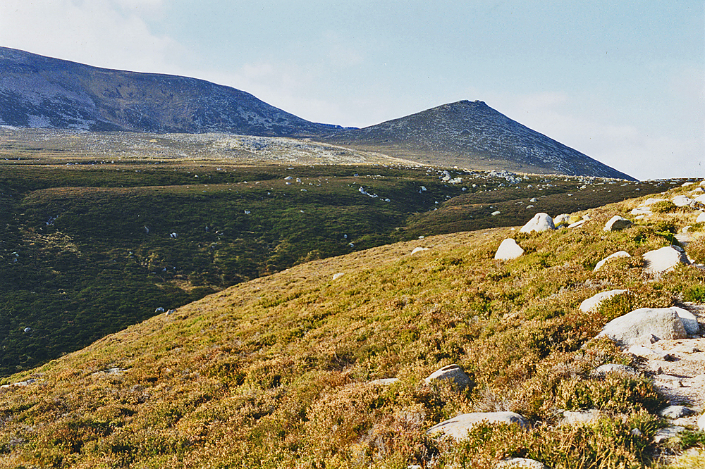
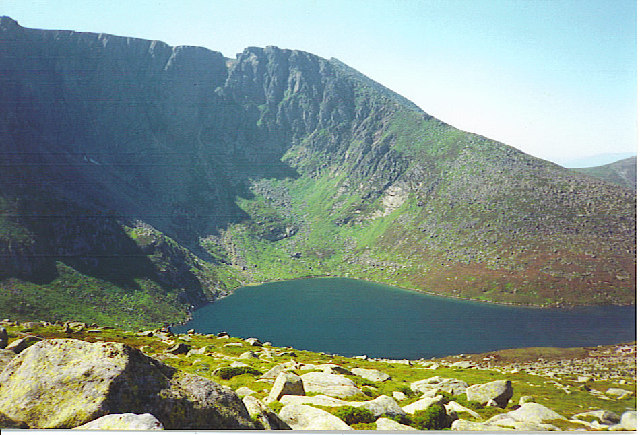
The walk starts from the Balmoral Estate visitor centre where there is parking available. From here you can pick up footpaths heading west up the mountain. You'll pass the picturesque loch and Meikle Pap before coming to the 1155 metre summit of the hill. The mountain's principal feature is a north-facing corrie around which most of the subsidiary tops as well as the main peak sit. It is also a popular breeding ground for dotterel and golden eagles.
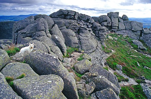
The true summit is called Cac Carn Beag and provides magnificent views over Deeside and the Cairngorms massif. There's a handy viewpoint indicator which details all the peaks and features you can see from the top.
To continue your walking in the area try the circuit of Loch Muick which starts from the same car park.
To the south of the loch there's the fabulous Corrie Fee Nature Reserve. It's rich with wildlife and also includes beautiful alpine flowers with rare mountain willows clinging to the steep crags of the bowl shaped valley. Also on the Balmoral estate is the interesting , Balmoral Cairns Walk which visits the historic castle and a series of cairns dedicated to members of the British royal family and events in their lives.


