Nore Valley Walk
![]() This route takes you along the Nore Valley Walk from Kilkenny to Bennettsbridge in County Kilkenny.
This route takes you along the Nore Valley Walk from Kilkenny to Bennettsbridge in County Kilkenny.
The route runs for about 10km (6miles) along a fairly flat waterside path. It's waymarked with little signs with a green arrow on a white background.
Start the walk in Kilkenny on the northern side of the River Nore, near to the railway station and Lacken Corn Mill.
The route then heads south east passing Ossory Bridge and Maddockstown before finishing at the village of Bennettsbridge.
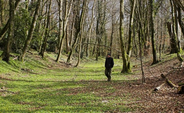
Along the way there's nice views of the river and the surrounding countryside to enjoy. There are also peaceful pockets of woodland with lots of wildlife to look out for too.
At the western end in Kilkenny the route links with both the Lacken Walk and the Kilkenny River and Canal Walk. The easy waterside walk runs along the southern side of the river, taking you to the old canal and the 12th century Kilkenny Castle with its lovely grounds and gardens.


