Rostherne Mere
![]()
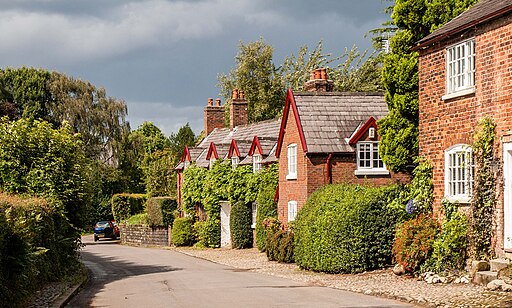
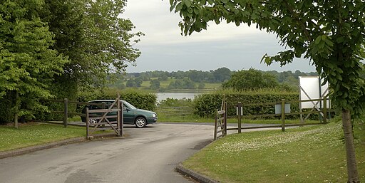
![]() Visit this pretty natural lake in the village of Rostherne, Cheshire. The area is a designated nature reserve where you can look out for a variety of wildfowl on the water. The reserve has no public access but there is a public footpath and viewpoint to the west of the mere. This is on Rostherne Lane and is shown on the google street view link below. It's an attractive area with the peaceful mere surrounded by woodland and countryside. Bring your binoculars and look out for cormorants, great crested grebe, tufted duck, pochard, goldeneye, teal and wigeon.
Visit this pretty natural lake in the village of Rostherne, Cheshire. The area is a designated nature reserve where you can look out for a variety of wildfowl on the water. The reserve has no public access but there is a public footpath and viewpoint to the west of the mere. This is on Rostherne Lane and is shown on the google street view link below. It's an attractive area with the peaceful mere surrounded by woodland and countryside. Bring your binoculars and look out for cormorants, great crested grebe, tufted duck, pochard, goldeneye, teal and wigeon.
The drone video below shows St Mary's Church in the village of Rostherne and a bird's eye view of the mere and surrounding countryside.
For cyclists Regional Cycle Route 70 runs through the village of Rostherne just to the south of the mere. You can then follow country lanes around the water.
You can extend your walking in the area by heading north to the splendid Dunham Massey and exploring the magnificent deer park.
In the nearby village of Lymm you can try the popular walk around the lovely Lymm Dam or head to Tatton Park where there's miles of excellent walking and cycling trails.
Postcode
WA16 6RZ - Please note: Postcode may be approximate for some rural locationsRostherne Mere Ordnance Survey Map  - view and print off detailed OS map
Rostherne Mere Open Street Map  - view and print off detailed map
Rostherne Mere OS Map  - Mobile GPS OS Map with Location tracking
Rostherne Mere Open Street Map  - Mobile GPS Map with Location tracking
Explore the Area with Google Street View 
Pubs/Cafes
The Stables cafe in Tatton Park is located just to the south. The cafe offers self-service style dining with a menu focused on using Estate meats and harvest where possible and home grown, home made, seasonal produce.
Further Information and Other Local Ideas
A few miles south east of the lake you can pick up the Mobberley Walk. The nearby village is well worth a visit with historic buildings and some excellent pubs to investigate.
Also nearby is the National Trust's Styal Country Park and Woods. The popular park includes woodland trails along the River Bollin and the historic Quarry Bank Mill.
For more walking ideas in the area see the Cheshire Walks page.
Cycle Routes and Walking Routes Nearby
Photos
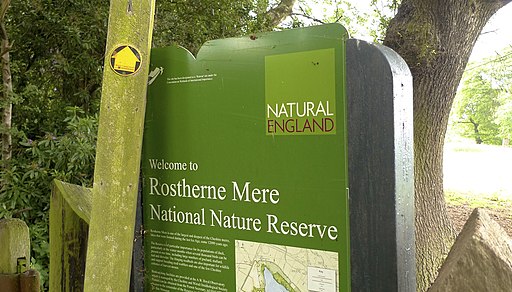
Rostherne Mere National Nature Reserve. The reserve is a mere with adjacent ancient semi-natural woodland.


