Sutton Park
![]()
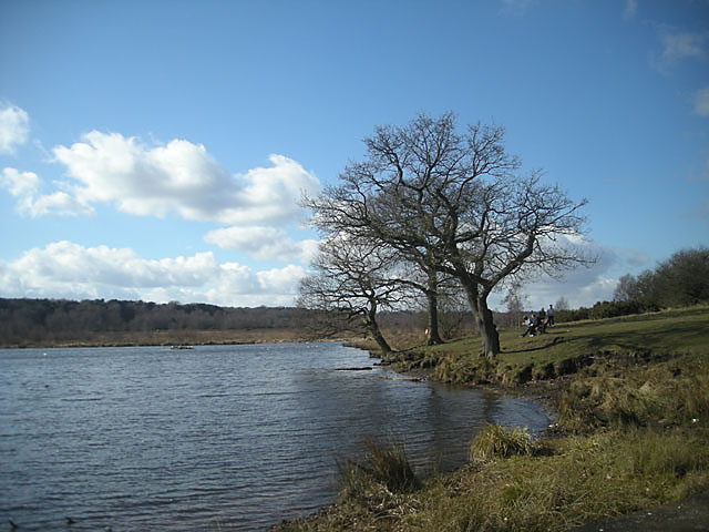
![]() This splendid park in Sutton Coldfield in Birmingham is the largest urban park in Europe and the largest outside a capital city. It covers 2,000 acres and includes numerous cycling and walking trails. A National Nature Reserve and a Site of Special Scientific Interest, Sutton Park is a mixture of open heathland, woodlands, wetlands, marshes and lakes. For walkers there are currently 5 self-guided routes around the site. Cyclists please note that National Cycle Route 534 travels through the park and is part of an extensive new route between Sutton Coldfield and Castle Vale.
This splendid park in Sutton Coldfield in Birmingham is the largest urban park in Europe and the largest outside a capital city. It covers 2,000 acres and includes numerous cycling and walking trails. A National Nature Reserve and a Site of Special Scientific Interest, Sutton Park is a mixture of open heathland, woodlands, wetlands, marshes and lakes. For walkers there are currently 5 self-guided routes around the site. Cyclists please note that National Cycle Route 534 travels through the park and is part of an extensive new route between Sutton Coldfield and Castle Vale.
There is an excellent visitor centre with gift shop, interpretive displays and maps. Sutton Park is located about six miles north of Birmingham City Centre.
If you would like to extend your outing then you could visit the nearby New Hall Valley Country Park and Pype Hayes Park where you will find more good cycling and walking trails.
Postcode
B74 2YT - Please note: Postcode may be approximate for some rural locationsPlease click here for more information
Sutton Park Ordnance Survey Map  - view and print off detailed OS map
Sutton Park Open Street Map  - view and print off detailed map
Sutton Park OS Map  - Mobile GPS OS Map with Location tracking
Sutton Park Open Street Map  - Mobile GPS Map with Location tracking
Dog Walking
The park is an excellent place for dog walking so you're bound to bump into other owners on your visit. Ponies and cattle do graze in the park so it's advisable to keep them under control in these areas.
Further Information and Other Local Ideas
Just over a mile west of the park you can enjoy a climb to Barr Beacon. The beacon is one of the highlights of the Black Country and a high point of the Birmingham city area. On the summit there is a distinctive domed war memorial and excellent views over the city and beyond.
For more walking ideas in the area see the West Midlands Walks page.
Cycle Routes and Walking Routes Nearby
Photos
North eastern aspect from Banners Gate car park at the south western end of the park. The masts of the BBC Sutton Coldfield transmitter can be seen in the distance.
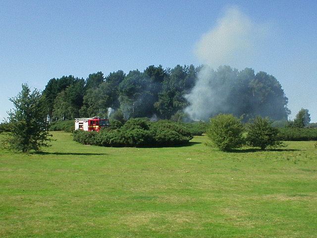
Heathland fire in Sutton Park. Sutton Park has the second largest area of unbroken lowland heathland in Staffordshire and the West Midlands. In hot summers fires such as this one are not uncommon. In the mid 1970s a fire damaged about 50% of the park.
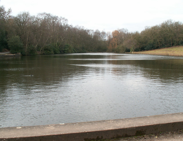
Keepers Pool. Keepers Pool was created in the 12th century as a fish pond within the deer park. The dam was originally earth and clay but was reinforced with stone in the 15th century and is now faced with concrete. Looking west from the dam.
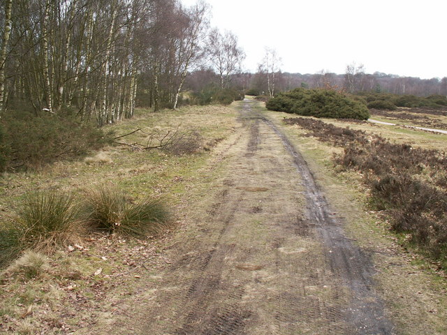
Ryknild Street Roman Road. Looking north east. The 1.5 mile section of the Roman road that runs through Sutton Park is one of the best preserved in the country, clearly showing the constructional features typical of roads in this part of the empire. This section of road linked the forts at Metcley (Birmingham) and Wall near Lichfield.


