Tayport to Newburgh Walk
18.5 miles (29.8 km)
![]()
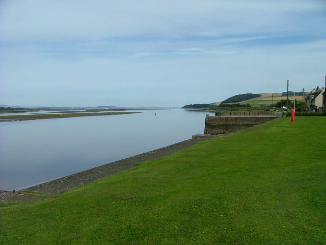
![]() This walk follows the final section of the Fife Coastal Path from Tayport to Newburgh.
This walk follows the final section of the Fife Coastal Path from Tayport to Newburgh.
The route runs for just over 18 miles following a waymarked footpath with some moderate climbs on the way.
The trail starts in Tayport and heads west to Newport on Tay, Balmerino Abbey, Hazelton Walls, Brunton and Glenduckie Hill before arriving at Newburgh at the south shore of the Firth of Tay.
For the previous stage of the coastal path please see the Tayport To Tentsmuir Walk. This will take you to the wonderful Tentsmuir Forest where you can explore miles of woodland trails and visit the wildlife rich Morton Lochs Nature Reserve.


