Trans Pennine Trail
![]()
![]() This terrific walking and cycling trail runs from coast to coast across northern England entirely on surfaced paths. It starts on the Yorkshire coast at Hornsea and passes through Yorkshire, Derbyshire and Greater Manchester before finishing on the Merseyside coast at Southport.
This terrific walking and cycling trail runs from coast to coast across northern England entirely on surfaced paths. It starts on the Yorkshire coast at Hornsea and passes through Yorkshire, Derbyshire and Greater Manchester before finishing on the Merseyside coast at Southport.
Please click here for more information
Trans Pennine Trail Ordnance Survey Map  - view and print off detailed OS map
Trans Pennine Trail Open Street Map  - view and print off detailed map
Trans Pennine Trail OS Map  - Mobile GPS OS Map with Location tracking
Trans Pennine Trail Open Street Map  - Mobile GPS Map with Location tracking
Further Information and Other Local Ideas
If you're on a mountain bike then consider exploring Wharncliffe Woods and Grenoside Woods in Sheffield. The trail passes both woods which contains some excellent mountain bike trails and jumps.
Cycle Routes and Walking Routes Nearby
Photos
Trans-Pennine Trail beside River Mersey in Chorley. Looking south east from a junction of paths at Jackson's Boat.
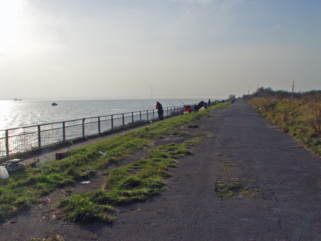
The route provides good access to the north bank of the Humber, and fishing seems to be the order of the day.
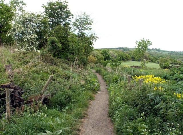
Skirting Rattles Hill between Cadeby and Conisbrough
Elevation Profile


