Whitlingham Country Park
![]()
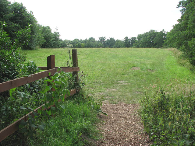
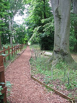
![]() Enjoy a peaceful cycle or walk around the lovely Whitlingham Country Park on the outskirts of Norwich. The park is situated on the River Yare and has a number of lakes, so is perfect for a relaxing waterside ride or walk.
Enjoy a peaceful cycle or walk around the lovely Whitlingham Country Park on the outskirts of Norwich. The park is situated on the River Yare and has a number of lakes, so is perfect for a relaxing waterside ride or walk.
The park also contains the Whitlingham Outdoor Education Centre where you can try a number of activities including windsurfing, sailing, archery, kayaking.
If you'd like to continue your walking in the area then you try the lovely Norwich Riverside Walk along the River Wensum. There's also Mousehold Heath just to the north east of the city centre.
The attractive heath has a series of nice trails taking you to heathland, woodland and ponds.
Whitlingham Country Park Ordnance Survey Map  - view and print off detailed OS map
Whitlingham Country Park Open Street Map  - view and print off detailed map
Whitlingham Country Park OS Map  - Mobile GPS OS Map with Location tracking
Whitlingham Country Park Open Street Map  - Mobile GPS Map with Location tracking
Further Information and Other Local Ideas
Just to the south of the park you'll find one of the area's significant historical sites at Caistor St Edmund. There are two waymarked walking trails to follow around this old Roman town which includes earthworks, ruined walls and ditches. The town is notable as the capital of the Iceni tribe, who inhabited the flatlands and marshes of Norfolk and who revolted against Roman rule under their queen Boudicca (or Boadicea) in the winter of 61 CE. At the site you can also pick up the Boudicca Way long distance path and follow it south towards Shotesham with its pretty mill and ford.
Follow the river east and you could visit the delightful village of Surlingham and explore the RSPB Church Marsh Nature Reserve.
On the opposite side of the river to Surlingham is the village Brundall, which is famous for its boat building industry. Near here you'll also find the RSPB's Strumpshaw Fen. There's some lovely trails here with River Yare views, marshland, lakes, orchid-rich meadows and lots of birdlife to see.
A few miles to the north east of Brundall there's Burlingham where you can explore the peaceful trails around Burlingham Woods. It's a lovely place for a stroll with carpets of snowdrops in Ferbruary and lots of bluebells in the spring months. There's also the interesting ancient ruins of the 14th century St Peter church to see here.
For more walking ideas in the area see the Norfolk Walks page.
Cycle Routes and Walking Routes Nearby
Photos
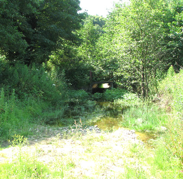
Footbridge over drain. The bridge takes the circular walk around Whitlingham Great Broad over a drain.


