Hodbarrow Lakes Nature Reserve
![]()
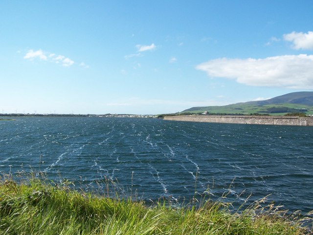
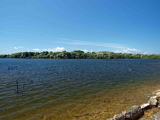
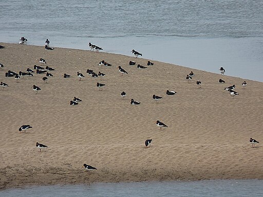
![]() Enjoy a walk around Hodbarrow Lakes RSPB on the edge of the Lake District National Park. You can stroll along the sea wall and enjoy fine views of the reserve's lakes on one side and the Duddon Estuary on the other. Look out for Teal, Widgeon, Coot, Mallard, Tufted Duck, Common Pochard, Goldeneye and Red-breasted Merganser as you make your way around the reserve. You can also sometimes see seals in the estuary.
Enjoy a walk around Hodbarrow Lakes RSPB on the edge of the Lake District National Park. You can stroll along the sea wall and enjoy fine views of the reserve's lakes on one side and the Duddon Estuary on the other. Look out for Teal, Widgeon, Coot, Mallard, Tufted Duck, Common Pochard, Goldeneye and Red-breasted Merganser as you make your way around the reserve. You can also sometimes see seals in the estuary.
The reserve is located just a short walk from the centre of Millom. The Cumbria Coastal Way runs past the reserve so you could pick this up and head along the coast towards Ravenglass if you would like to continue your walk.
A climb to Black Combe is also a good option.
Hodbarrow Lakes Nature Reserve Ordnance Survey Map  - view and print off detailed OS map
Hodbarrow Lakes Nature Reserve Open Street Map  - view and print off detailed map
Hodbarrow Lakes Nature Reserve OS Map  - Mobile GPS OS Map with Location tracking
Hodbarrow Lakes Nature Reserve Open Street Map  - Mobile GPS Map with Location tracking
Further Information and Other Local Ideas
The Millom Walk visits the site from the train station in the nearby town.
For more walking ideas in the area see the Lake District Walks page.
Cycle Routes and Walking Routes Nearby
Photos
Hodbarrow lighthouse. Both the old and new lighthouses are located on the Duddon estuary and were established to assist navigation for ships exporting ore from Hodbarrow Mine.
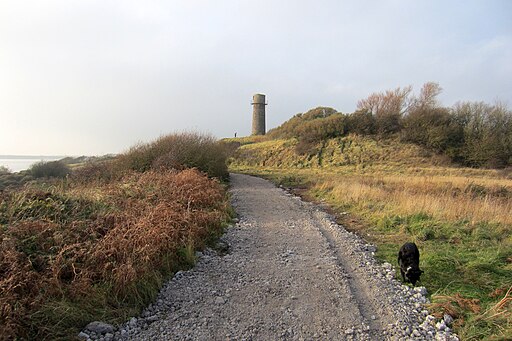
Resurfaced path to the Old Lighthouse. Located 380m north-west of Hodbarrow Point, to the south of Millom. Built in the 19th Century, it is one of the last surviving structures of the Hodbarrow Mine, which once shipped iron ore as far as Germany. Hodbarrow Beacon is a Scheduled Monument.


