Little Ouse Path
![]()
![]() Follow the Little Ouse River on this delightful, gentle walk through Thetford Forest. The route runs for about 10 miles along a fairly flat riverside path surrounded by peaceful woodland.
Follow the Little Ouse River on this delightful, gentle walk through Thetford Forest. The route runs for about 10 miles along a fairly flat riverside path surrounded by peaceful woodland.
The walk starts in Thetford mainly following the river towpath through Santon Downham to Brandon. At Brandon you'll find the super Brandon Country Park. Here you will find beautiful lakeside lawns, a delightful walled garden and an excellent visitor centre.
A few miles to the north of the park you'll find the splendid Lynford Arboretum. It's a lovely place for a walk with woodland trails, pretty lakes and an impressive 19th century Sequoia Avenue to see.
Little Ouse Path Ordnance Survey Map  - view and print off detailed OS map
Little Ouse Path Open Street Map  - view and print off detailed map
Little Ouse Path OS Map  - Mobile GPS OS Map with Location tracking
Little Ouse Path Open Street Map  - Mobile GPS Map with Location tracking
Further Information and Other Local Ideas
For more walking ideas in the area see the Norfolk Walks and Suffolk Walks pages.
Cycle Routes and Walking Routes Nearby
Photos
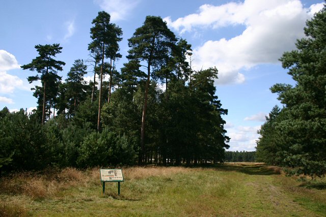
Little Ouse Path, Thetford. Forest The sign provides detailed information about bats that can be seen in the Forest.
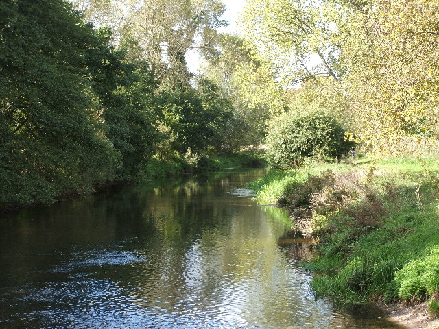
River Little Ouse. Taken from a footbridge over The River Little Ouse between Santon Downham & Two Mile Bottom on a beautiful autumn day.
The bridge ove the river at Santon Downham. The bridge at may seem familiar to viewers of the Dad's Army TV series. It featured in an episode when the platoon, dressed in firemen's uniforms, crossed the bridge on board a vintage fire engine. Most of the location scenes were shot in Norfolk, and in the Thetford area in particular.
Elevation Profile


