Culbin Forest Walks and Cycling
![]()
![]() Enjoy a cycle or walk around this large coastal forest near Nairn. There are a huge number of tracks to choose from including the easy Hill 99 trail which is waymarked.
Enjoy a cycle or walk around this large coastal forest near Nairn. There are a huge number of tracks to choose from including the easy Hill 99 trail which is waymarked.
The route below begins at the car park at the Culbin Forest Nature Reserve and takes you around the forest on various tracks. The route includes a visit to the Culbin Sands Nature Reserve on the coast at Nairn. Here you can see a variety of coastal birds including bar-tailed godwits, oystercatchers and knots. The route then heads back through the forest passing a series of idyllic woodland lochs before returning to the start point.
Other highlights in the forest include the beautiful Findhorn Bay where you can see ospreys and seals at the river-mouth and a view over the water towards the village of Findhorn. You can also climb the Hill 99 viewpoint trail where there are fabulous views of the surrounding area from the top of the viewpoint tower.
National Cycle Network Route route 1 runs just past the forest so there is scope for continuing your ride if you have time. The forest is located about 16 miles north east of Inverness.
Postcode
IV12 5BX - Please note: Postcode may be approximate for some rural locationsPlease click here for more information
Culbin Forest Ordnance Survey Map  - view and print off detailed OS map
Culbin Forest Open Street Map  - view and print off detailed map
Culbin Forest OS Map  - Mobile GPS OS Map with Location tracking
Culbin Forest Open Street Map  - Mobile GPS Map with Location tracking
Dog Walking
The forest and beach are an excellent place for a dog walk so you'll probably meet other owners on your visit. During the ground-nesting bird breeding season (1 April to 15 August) you are requested to please keep your dog close to you, preferably on a short lead.
Further Information and Other Local Ideas
To the east there's the pretty Loch Oire and Loch Na Bo to visit near Elgin.
In Findhorn you can pick up the epic Moray Coast Trail and follow it between Findhorn and Burghead.
The Dava Way also starts in Forres. This shared cycling and walking trail runs along a disused railway line from Forres to Granton-on-Spey, Highland. If you follow it south it will take you towards the Darnaway Forest and the Logie Steading Findhorn River Walk. The estate includes some fine riverside walks, a garden centre, a cafe and some splendid waterfalls at the photogenic Randolph's Leap.
Also nearby is the historic Brodie Castle. The 16th century castle is run by the National Trust for Scotland and includes some lovely grounds with 400 varieties of daffodil, sculptures, gardens and a wildlife rich lake.
Cycle Routes and Walking Routes Nearby
Photos
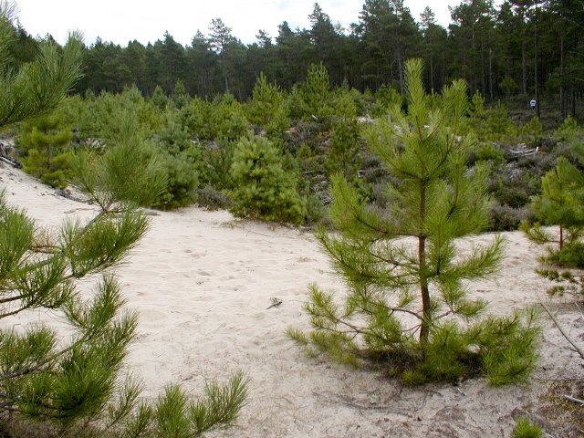
Another scene from this vast forest, taken at NH983608. Orienteers walking towards the race start deeper in the forest.
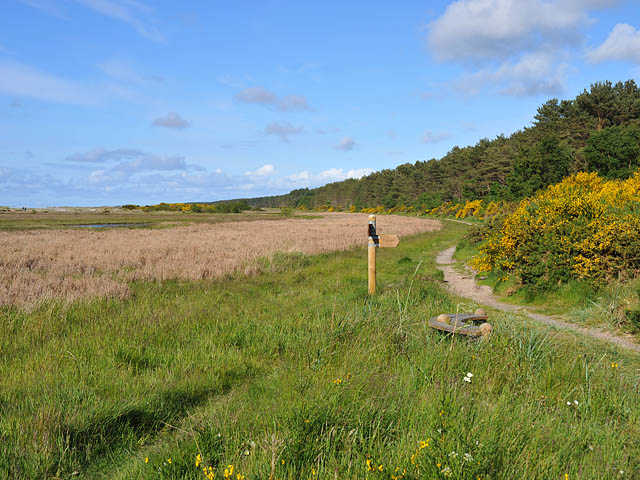
Channel Through Salt Marsh - Culbin Sands. As well as being important as a saltmarsh habitat, evidence of iron age and bronze age faience jewellery and pictish weaponry has been found here.


