Burren Way
![]() This long distance walking trail runs from Lahinch to Corofin in County Clare.
This long distance walking trail runs from Lahinch to Corofin in County Clare.
The walk runs for 114km taking you through The Burren, one of the largest karst limestone landscapes in Europe.
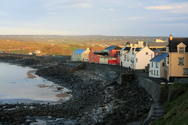
The walk starts in the coastal town of Lahinch with the opening section taking you to Liscannor and then along the coast to the wonderful Cliffs of Moher. The cliffs are one of the major highlights of the walk with some spectacular scenery to enjoy.
You continue along the coast to the village of Doolin before heading inland to visit the spa town of Lisdoonvarna. The attractive town is well known for its music and festivals.
You can continue past the settlements of Ballinalacken and Formoyle with the 344 metre high mountain of Slieve Elva on your right.
The route then heads east to the harbour village of Ballyvaughan where you can try the popular Ballyvaughan Wood Loop Walk.
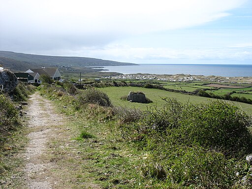
The final section runs from Ballyvaughan to Carran and Killinaboy before finishing in Corofin. This section passes a branch of the walk which heads east into the Burren National Park. There's a wonderful rocky landscape here with unique flora including Lime-loving and acid-loving plants.
Burren Way Open Street Map  - view and print off detailed map
Ireland Walking Map - View All the Routes in the Country>>
Burren Way Open Street Map  - Mobile GPS Map with Location tracking
Cycle Routes and Walking Routes Nearby
Photos
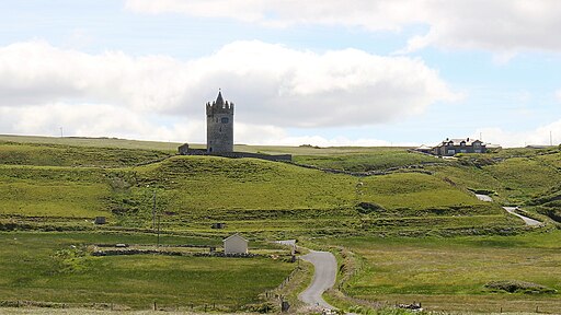
Doonagore Castle. A round 16th-century tower house with a small walled enclosure located about 1 km south of the coastal village of Doolin


