Cranham Woods
![]()
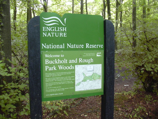
![]() This circular woodland walk in the Cotswolds visits Cranham Woods, Buckholt Woods and Coopers Hill. These large peaceful woods have miles of walking trails through attractive Beech woodland. Cyclists can try a series of downhill mountain bike trails.
This circular woodland walk in the Cotswolds visits Cranham Woods, Buckholt Woods and Coopers Hill. These large peaceful woods have miles of walking trails through attractive Beech woodland. Cyclists can try a series of downhill mountain bike trails.
The walk starts from the parking area at the southern end of the woods near Cranham. You then head through Buckholt Wood towards Cooper's Hill, site of the Cheese Rolling event held on the Spring Bank Holiday which involves locals chasing a large round cheese down a near-vertical grass slope. The route then heads through Cooper's Hill Woods before returning to the car park.
If you would like to extend your walk then you could visit the nearby Prinknash Abbey Park or climb Painswick Beacon for wonderful views over the Cotswolds. Much of this walk makes use of the Cotswold Way National Trail so you could also continue east along the trail through Witcombe Wood to Birdlip Hill and the lovely Crickley Hill Country Park.
Cranham Woods Ordnance Survey Map  - view and print off detailed OS map
Cranham Woods Open Street Map  - view and print off detailed map
Cranham Woods OS Map  - Mobile GPS OS Map with Location tracking
Cranham Woods Open Street Map  - Mobile GPS Map with Location tracking
Pubs/Cafes
Just to the east of the woods you could pay a visit to the noteable Golden Heart Inn. This historic inn dates from the 16th century and includes an attractive interior with a cosy log fire. Outside there's a delightful patio area with views overlooking the valley. You can find it at Nettleton Bottom, Birdlip with a postcode of GL4 8LA for your sat navs.
Dog Walking
The woods are a nice place for a dog walk and the Golden Heart Inn mentioned above is also dog friendly. They also provide treats on the bar for your furry friend.
Cycle Routes and Walking Routes Nearby
Photos
Close to the steep edge of the scarp slope of the Cotswold escarpment. Honey coloured Cotswold stones from a crumbling field boundary are scattered across the field in the foreground. Looking north west towards Buckholt wood in the distance.
Silver birch tree on Cranham Common viewed from the road above the village. Buckholt Wood can be seen in the backbround.


