Glenbarrow Clamp Hole Waterfall Loop Walk
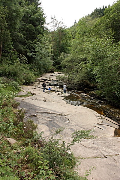
![]() This circular walk takes you to the lovely Clamp Hole Waterfall in Glenbarrow near Rosenallis in the Slieve Bloom Mountains.
This circular walk takes you to the lovely Clamp Hole Waterfall in Glenbarrow near Rosenallis in the Slieve Bloom Mountains.
The scenic walk runs for about 4.2km along a fairly flat trail with expansive peaceful woodland for further exploration.
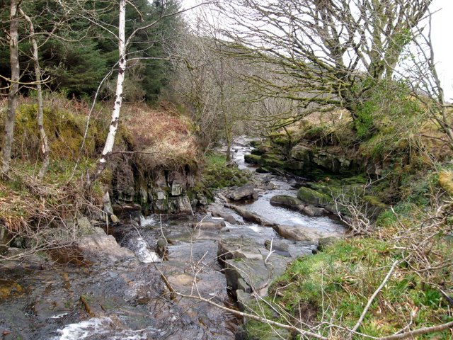
You can start the walk from the Glenbarrow Car Park just north of the falls. From here you can pick up waterside trails along the River Barrow heading south to Clamp Hole Waterfall. It's a lovely secluded spot with the rushing falls surrounded by lush green vegetation.
The route then returns through alternative woodland paths just to the east of the river.
Part of the route uses a section of the Slieve Bloom Way. This long distance waymarked trail runs for 70km, taking you through some of the highlights of the Slieve Bloom Mountains. If you follow it west you could try the Kinnitty Castle Loop Walk which visits a striking 19th century Gothic Revival Castle and the Camcor River Valley. There's also the Capard Glenbarrow Ecoloop which can be picked up in the area.
Glenbarrow Waterfall Loop Open Street Map  - view and print off detailed map
Ireland Walking Map - View All the Routes in the Country>>
Glenbarrow Waterfall Loop Open Street Map  - Mobile GPS Map with Location tracking
Further Information and Other Local Ideas
To the north there's some local historic interest at Durrow Abbey. The interesting medieval site includes several notable ancient features, a picturesque walled garden and some peaceful woodland trails.
To the east you can pick up the Barrow Way, a 100km long distance trail runnning from Robertstown, County Kildare to St Mullin's, County Carlow.
To the east there's the Derryounce Lakes and Walkways at Portarlington. The wildlife rich site includes raised walkways, bog, peaceful woodland and pretty lakes.
To the south west there's the lovely grounds of Birr Castle to explore. The site include views of the River Camcor and an impressive telescope which was the largest telescope in the world for over 70 years.


