Slieve Bloom Mountains Way Walk - Map and Gpx
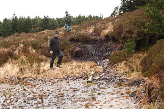
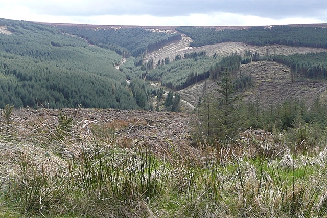
![]() This epic long distance trail explores the Slieve Bloom Mountains of Ireland. The waymarked circular trail runs for 70-kilometres through some wonderful mountainous scenery with challenging climbs, wonderful views, expansive woodland, riverside trails and rushing waterfalls.
This epic long distance trail explores the Slieve Bloom Mountains of Ireland. The waymarked circular trail runs for 70-kilometres through some wonderful mountainous scenery with challenging climbs, wonderful views, expansive woodland, riverside trails and rushing waterfalls.
The walk starts at the Glenbarrow trail head where there is a car park. The first section is very pleasant, taking you south west along the River Barrow to the Glenbarrow Clamp Hole Waterfall.
You continue south west past Clarnahinch Mountain and Castleconor before passing through the Kinnitty Forest. In this area you can pick up the Kinnitty Castle Loop Walk and visit the 19th-century gothic revival castle and hotel. There's also some fine views of the Camcor River valley, a picnic area here and a car park which offers an alternative start point to the walk.
The route then heads to Cadamstown where you turn east, passing Barradoos Mountain before picking up a section along the River Clodiagh towards Clonaslee.
The path then heads south with more river views before an extensive area of forestry takes you east back to Glenbarrow.
Please click here for more information
Slieve Bloom Way Open Street Map  - view and print off detailed map
Ireland Walking Map - View All the Routes in the Country>>
Slieve Bloom Way Open Street Map  - Mobile GPS Map with Location tracking
Further Information and Other Local Ideas
Just to the east there's a local historical highlight at the Rock Of Dunamase. The ancient Celtic fortification provides wonderful views back to the mountains. Near there's also Emo Court where you'll find a splendid neo-classical mansion surrounded by lovely woodland, parkland, gardens and a lake.
Cycle Routes and Walking Routes Nearby
Photos
River Barrow Waterfall Glenbarrow. The walk is designated as a National Waymarked Trail by the National Trails Office of the Irish Sports Council and is managed by Laois County Council, Offaly County Council.


