Leitrim Way
![]() This long distance walking trail runs from Leitrim village to Manorhamilton in County Leitrim.
This long distance walking trail runs from Leitrim village to Manorhamilton in County Leitrim.
The route runs for about 56km heading north from Leitrim village to Drumshanbo, Cornamuckla and Dowra before finishing in Manorhamilton. On the way you will pass Lough Allen where you can link up with the Miner's Way to create a long circular walk around the expansive lake.
The walk includes some challenging climbing through the Boleybrack Mountain range where you can enjoy some glorious views over the area. There's also some nice views of the Shannon River around Dowra.
The route links up with the popular Shannon Blueway at Acres Lough. Here you can enjoy a stroll along Ireland’s first floating walkway.
For more details on the opening section of the route see the Drumshanbo to Leitrim Walk page. This lovely waterside path runs along the Lough Allen Canal and the River Shannon.
Leitrim Way Open Street Map  - view and print off detailed map
Ireland Walking Map - View All the Routes in the Country>>
Leitrim Way Open Street Map  - Mobile GPS Map with Location tracking
Further Information and Other Local Ideas
Just south of Leitrim you can enjoy some pleasant waterside walking along the River Shannon in the historic town of Carrick On Shannon.
To the west of Leitrim you'll find Lough Key Forest Park. The park includes lakeside walks and several nature trails, including the popular Tree Canopy Walk, an elevated walkway through the trees.
Cycle Routes and Walking Routes Nearby
Photos
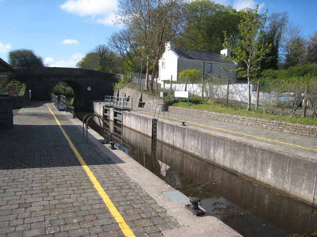
The cruiser marina at the Marina hotel and apartment complex on the Shannon-Erne Waterway at the village of Leitrim
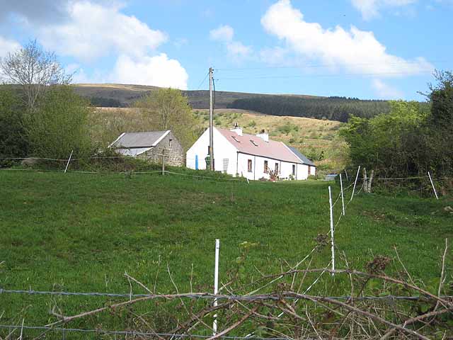
Cottage at Cornashamsoge. Seen from a minor road which carries both the Leitrim Way and the Kingfisher Cycle Trail (National Cycle Network route 91) the first cycle trail established in Ireland. Beyond lies the lower slopes of Slieve Anierin.
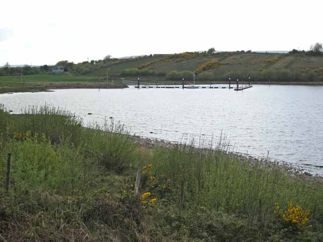
Jetty on the eastern shore of Lough Allen. Boating is a popular pastime on Lough Allen which lies on the upper Shannon.


