Lough Bray Loop Walk
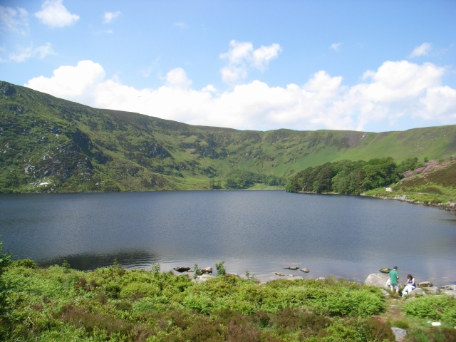
![]() This circular walk visits two scenic lakes in the Wicklow Mountains National Park
This circular walk visits two scenic lakes in the Wicklow Mountains National Park
The Upper and Lower Loughs both have nice footpaths to follow through the surrounding area. You can start and finish the walk from the roadside parking area near to the Lower Lough off the R115. Along the 7km route there are wonderful views across the water to the surrounding mountains.
To continue your walking in the area head south east to visit Crone Woods and Powerscourt Waterfall. It's located in a beautiful spot on the River Dargle and is the highest waterfall in Ireland.
Lough Bray Loop Open Street Map  - view and print off detailed map
Ireland Walking Map - View All the Routes in the Country>>
Lough Bray Loop Open Street Map  - Mobile GPS Map with Location tracking
Further Information and Other Local Ideas
To the south there's more great lakeside trails at Lough Tay and Lough Dan.
To the north there's Ticknock Forest where you can climb to the Two Rock and Three Rock Mountains and enjoy amazing views over Dublin.


