Ochil Hills Walks
![]()
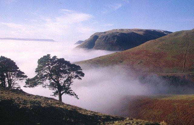
![]() This 25 mile range of hills are located just to the north east of Stirling. The scenic rolling hills are a fine place for walkers with many excellent viewpoints, beautiful glens, waterfalls, streams and lakes to enjoy.
This 25 mile range of hills are located just to the north east of Stirling. The scenic rolling hills are a fine place for walkers with many excellent viewpoints, beautiful glens, waterfalls, streams and lakes to enjoy.
This circular walk in the hills starts off from the Ochil Hills Woodland Park before taking you up to the viewpoints at Wood Hill, Ben Ever and The Nebit. You'll also visit Silver Glen and the beautiful waterfalls at Alva Glen.
You start off from the car park in the Ochil Hills Woodland Park which lies just to the east of the town of Alva. The park was planted as part of the Alva House estate and is believed to be one of the oldest plantations in Scotland. It includes bluebell woods, the old silver mines and wildlife including roe deer, woodpeckers and buzzards.
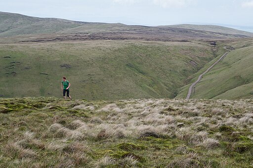
From here you can pick up woodland trails through the park before climbing northeast towards Wood Hill which stands at a height of 525 metres. You then head north east along the ridge between Wood Hill and Ben Ever which is 622 metres high. There are fine views over the Glen of Glenwinnel Burn to the surrounding hills from here.
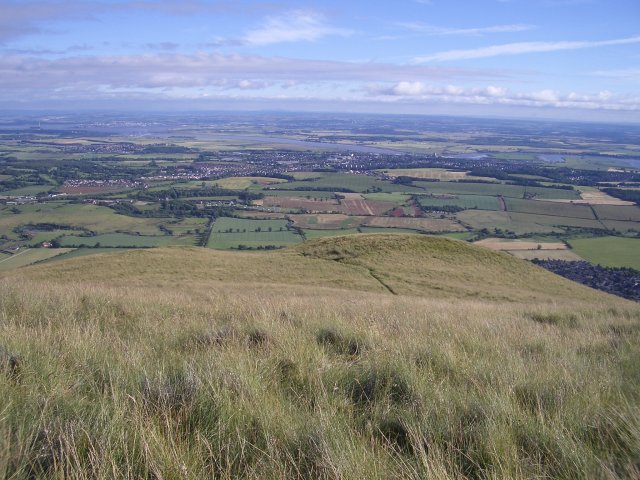
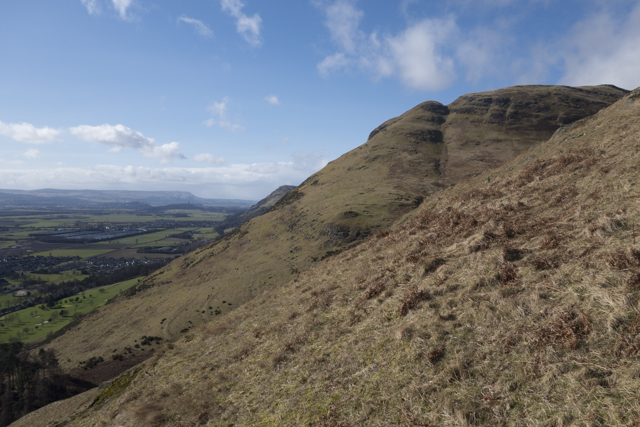
The route then heads south towards The Nebit at 449 metres high, commanding more fine views over the Forth Valley below.
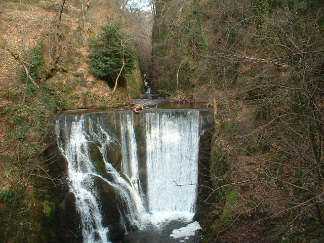
You then descend through Silver Glen which takes its name from the silver that was mined there in the early 18th century. Near here you will pass Alva Glen as well. The delightful glen is one of the walking highlights of the area with a pretty stream and waterfalls to admire.
From here you follow country lanes through the town before returning to the woodland park.
To continue your walking in the hills visit the picturesque reservoirs at Glendevon and the beautiful Dollar Glen.
Ochil Hills Ordnance Survey Map  - view and print off detailed OS map
Ochil Hills Open Street Map  - view and print off detailed map
Ochil Hills OS Map  - Mobile GPS OS Map with Location tracking
Ochil Hills Open Street Map  - Mobile GPS Map with Location tracking
Walks in the Ochil Hills
- Glendevon - This walk takes you through the beautiful Glendevon in the Ochil Hills in Stirling.
- Dollar Glen - This walk visits the National Trust's Dollar Glen located in the Ochils of Clackmannanshire.
- Loch Leven - This splendid circular walk follows a footpath around the whole of Loch Leven in Kinross
- Alva Glen - This walk visits the beautiful Alva Glen in the Clackmannanshire town of Alva, in the Central Lowlands of Scotland.
- Menstrie Glen - This walk takes you through Menstrie Glen, a picturesque valley nestled at the foot of the Ochil Hills in Clackmannanshire
- Tillicoultry Glen - This walk explores the lovely Tillicoultry Glen at the base of the Ochil Hills in Clackmannanshire.
- Glen Sherup - This circular walk explores Glen Sherup, visiting the photogenic Glen Sherup Reservoir before a climb to the viewpoint at Ben Shee.
Pubs/Cafes
The No 5 Inn is located at Alva Glen. The inn has some interesting history dating back to 1776. In 1787 it was visited by poet Robert Burns and there is a plaque commemorating the event on the side of the pub. It is thought that it was the 5th pub Burns stoped at on his way from Stirling to the north. Hence the name, No5 Inn.
There's a pleasant interior with a historic bar serving good quality whisies and a selection of guest beers from the many micro breweries in the area. There's also a fine restaurant with many Scottish favourites on the menu. You can find them at 38 Brook St, Alva FK12 5JL.
Further Information and Other Local Ideas
To the west there's Menstrie Glen and the walk to Lossburn Reservoir.
To the east there's Tillicoultry Glen and Mill Glen where you can learn about the interesting industrial past of the area.
Photos
The Nebit. A glance at the map suggests that the Nebit belongs to the ridge that runs down off Craighorn, but it is actually connected to Ben Ever as the Glenwinnel Burn has crossed the ridge through capturing the burn that once flowed down the Silver Glen. The Silver Glen now has a misfit stream with its headwaters cut off.

