Pickmere Lake
![]()
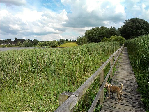
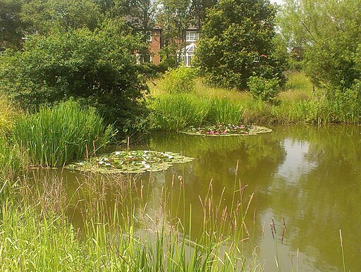
![]() This pretty lake is located just north of Northwich in the Cheshire village of Pickmere.
This pretty lake is located just north of Northwich in the Cheshire village of Pickmere.
There's some nice walking trails taking you along the water where you can look out for a variety of wildlife. The lake is also very popular with swimmers.
You can start off from The Turton Pavilion car park on the eastern side of the water.
If you head west from the park you will soon come to Marbury Country Park where you can enjoy more waterside trails around Budworth Mere in Great Budworth. Near here there's also walks along the River Weaver and the Trent and Mersey Canal where you can see the wonderful Anderton Boat Lift.
Postcode
WA16 0GZ - Please note: Postcode may be approximate for some rural locationsPickmere Lake Ordnance Survey Map  - view and print off detailed OS map
Pickmere Lake Open Street Map  - view and print off detailed map
Pickmere Lake OS Map  - Mobile GPS OS Map with Location tracking
Pickmere Lake Open Street Map  - Mobile GPS Map with Location tracking
Pubs/Cafes
Head east into Pickmere village and you could enjoy some post walk rest and refreshment at the Red Lion. The country pub has a particularly fine garden area with a landscaped seating area and orangery. Inside there's a charming interior with roaring fires and stylish decor. You can find them on Park Lane at postcode WA16 0JX for your sat navs.
Dog Walking
The lakeside path is a nice one to do with your dog. The Red Lion mentioned above is also dog friendly.
Further Information and Other Local Ideas
Just to the east you'll find one of Jodrell Bank's radio telescopes and Tabley House and Mere at Nether Tabley.
The North Cheshire Way passes close to the lake. You could pick it up and follow it north to Arley Hall where there's a fine stately home surrounded by beautiful gardens.
Just a few miles to the south east there's Lower Peover where you can visit the Grade I listed church and enjoy a walk to Peover Hall. The 16th century country manor includes beautiful gardens which are open to the public on certain days. Just over a mile south of the village there's something of a hidden gem at Shakerley Mere. The pretty lake includes a 1 mile circular trail, lots of wildlife and pleasant woodland trails. There's also a fine 300 year old pub for refreshments after your exercise.
For more walking ideas in the area see the Cheshire Walks page.


