South Leinster Way
![]() This National Waymarked Trail runs for 104km from Kildavin, County Carlow to Carrick-on-Suir in County Tipperary.
This National Waymarked Trail runs for 104km from Kildavin, County Carlow to Carrick-on-Suir in County Tipperary.
Starting from Kildavin you head south west to the Blackstairs Mountains where you will pass Mount Leinster on the border of Counties Carlow and Wexford.
You continue to Borris where you will pick up a riverside section along the River Barrow and the Barrow Way. This will take you south to Graiguenamanagh before continuing to Inistioge where are views of the River Nore. In this area you can also pick up the Woodstock Waterfall Loop Walk which will take you to the Woodstock House Arboretum and Gardens.
The next stage takes you through woodland and countryside to Mullinavat before heading west to finish at Carrick-on-Suir on the River Suir.
South Leinster Way Open Street Map  - view and print off detailed map
Ireland Walking Map - View All the Routes in the Country>>
South Leinster Way Open Street Map  - Mobile GPS Map with Location tracking
Further Information and Other Local Ideas
Near the start of the route you can pick up the Wicklow Way at Clonegal which marks the southern end of the trail. The epic hike will take you through the amazing scenery of the Wicklow Mountain with its challenging climbs and beautiful lakes.
At the end of the route the trail links with the Suir Blueway at Carrick-on-Suir. This shared cycling and walking trail runs along the River Suir between Carrick-on-Suir and Clonmel.
Cycle Routes and Walking Routes Nearby
Photos
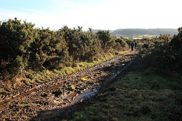
View from the South Leinster Way. Taken from the south-east corner of the square, this shows this square pretty much in its entirety as it drops down from moorland to farmland with a small river valley bisecting it.


