Suir Blueway
![]() Enjoy a walk or cycle along the River Suir from Carrick-on-Suir to Clonmel on this lovely waterside route in County Tipperary.
Enjoy a walk or cycle along the River Suir from Carrick-on-Suir to Clonmel on this lovely waterside route in County Tipperary.
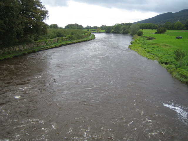
The Blueway/Greenway trail runs for just over 20km, passing along the flat riverside path. Along the way you will enjoy fine views of the countryside and the village of Kilsheelan. There's also picturesque old bridges, fine country homes and an historic castle to see on the route.
You can continue along the blueway to visit the nearby Cahir Castle. The 12th century castle is well worth a visit with lovely grounds and a fascinating history. The section between Clonmel and Cahir is generally used by kayakers, paddle boarders and other water users.
Suir Blueway Open Street Map  - view and print off detailed map
Ireland Walking Map - View All the Routes in the Country>>
Suir Blueway Open Street Map  - Mobile GPS Map with Location tracking
Further Information and Other Local Ideas
The route links with the South Leinster Way in Carrick on Suir. The National Waymarked Trail runs for 104km from Kildavin, County Carlow to Carrick-on-Suir.
To the south there's the stunning Comeragh Mountains to explore. Here you can try the popular Coumshingaun Lake Loop Walk or visit the picturesque Mahon Falls. Also in this area is the Lough Mohra and Rath Beag Loop. The lake is a glacial coum and located in a lovely remote spot with beautiful countryside, forestry and mountains surrounding it.
To the east there's Waterford where you can pick up the Waterford Greenway and the Waterford River Walk along another part of the Suir.
To the west there's the Galty Mountains where you can enjoy a walk to the secluded Lough Curra, climb to the excellent viewpoint at Galtymore Mountain and try the Lake Muskry Trail.
Cycle Routes and Walking Routes Nearby
Photos
The old bridge, Carrick on Suir, Co. Tipperary. Over the river, Carrickbeg is in County Waterford. Carrick-on-Suir is the home town of cyclists Sean Kelly and Sam Bennett, with many considering this area to be Ireland’s spiritual home of cycling.
Poulakerry castle An Irish tower house. It was built in the 15th century on a location overlooking a potential crossing point of the River Suir, probably contemporary with Ballynornan castle about five miles further east.


