Sprat And Winkle Line Walk
![]()
![]() This walk or cycle takes you along the trackbed of the old Sprat and Winkle Line which ran between Andover and Redbridge in Hampshire.
This walk or cycle takes you along the trackbed of the old Sprat and Winkle Line which ran between Andover and Redbridge in Hampshire.
The route starts in the town of Stockbridge and heads south along the old railway towards Romsey.
You can start off at the public parking area at Common Marsh just south of Stockbridge. From here you can pick up the Test Way and follow it south along the Sprat And Winkle Line path. You'll pass Horsebridge before coming to Stonymarsh where you can visit the historic Mottisfont Abbey.
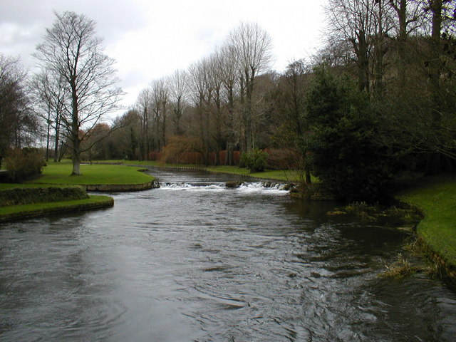
On the route you'll also pass the site of the old Horsebridge Station and enjoy views of the River Test. The route is part of National Cycle Route 246 so also suitable for cyclists.
Sprat And Winkle Line Ordnance Survey Map  - view and print off detailed OS map
Sprat And Winkle Line Open Street Map  - view and print off detailed map
Sprat And Winkle Line OS Map  - Mobile GPS OS Map with Location tracking
Sprat And Winkle Line Open Street Map  - Mobile GPS Map with Location tracking
Cycle Routes and Walking Routes Nearby
Photos
Horsebridge railway station (site), Hampshire.
Opened in 1865 by the London & South Western Railway on the "Sprat & Winkle" line from Andover to Romsey, this station closed in 1964. It became derelict but has since been restored as a private residence and wedding venue. View south west towards Mottisfont and Romsey.


