The Ercall
![]()
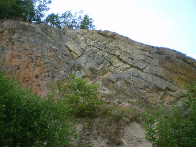
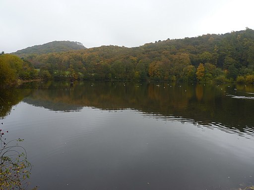
![]() This small hill near The Wrekin has some nice walking trails to follow through Ercall Woods. The area is geoligcally significant with rocks dating back 500 million years and several disused quarries. There's also lots of interesting flora and fauna to look out for. In the spring you will find carpets of bluebells and the dingy skipper and speckled wood butterflies. From the high points on Ercall Hill there are splendid views across the Shropshire countryside.
This small hill near The Wrekin has some nice walking trails to follow through Ercall Woods. The area is geoligcally significant with rocks dating back 500 million years and several disused quarries. There's also lots of interesting flora and fauna to look out for. In the spring you will find carpets of bluebells and the dingy skipper and speckled wood butterflies. From the high points on Ercall Hill there are splendid views across the Shropshire countryside.
You can start your walk from the car park on Wellington Road near Ercall Lane. From here you pick up the Shropshire Way and head in a north easterly direction past Lawrence Hill and through the woods to the Ercall Hill summit. The path then descends towards the Ercall Wood College on the outskirts of Wellington. You can also easily reach the area from the centre of Wellington. Head south from the train station or bus station for about a mile and you will come to the woods.
This route is designed for walkers but the area is also very popular with mountain bikers.
To extend your walk you can try the The Wrekin circular walk which starts from the same car park.
You could also visit the nearby Limekiln woods on the other side of the golf course.
Postcode
TF6 5AL - Please note: Postcode may be approximate for some rural locationsThe Ercall Ordnance Survey Map  - view and print off detailed OS map
The Ercall Open Street Map  - view and print off detailed map
The Ercall OS Map  - Mobile GPS OS Map with Location tracking
The Ercall Open Street Map  - Mobile GPS Map with Location tracking
Dog Walking
The woodland trails are ideal for dog walking so you'll probably meet other owners on a fine day.
Further Information and Other Local Ideas
The Wellington Walk visits the Ercall and The Wrekin from the nearby town centre. The walk start from close to the bus station and train station making the area accessible by public transport. The town is well worth exploring with its historic market and the splendid Victorian house and garden at the National Trust's Sunnycroft to see.
For more walking ideas in the area see the Shropshire Walks page.


