The Vee Walk
![]() Located near the boundary between County Waterford and County Tipperary you'll find the beautiful Vee Gap. Positioned in the dramatic surroundings of the Knockmealdown Mountains it provides a vantage point looking over onto the Galty Mountains further north.
Located near the boundary between County Waterford and County Tipperary you'll find the beautiful Vee Gap. Positioned in the dramatic surroundings of the Knockmealdown Mountains it provides a vantage point looking over onto the Galty Mountains further north.
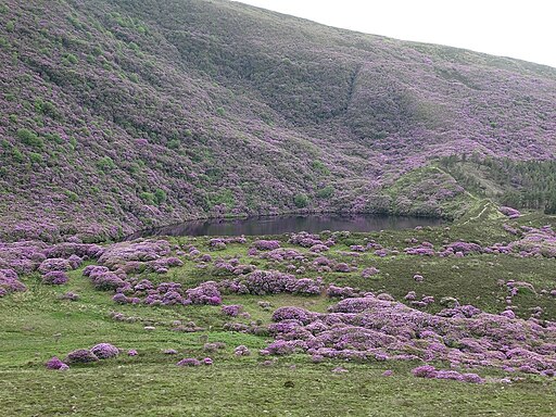
You can start the walk from The Vee car park at the southern end of the pretty Bay Lough. The walk then follows a section of the Tipperary Heritage Way, a waymarked long distance trail running through the area. Follow it north and it will take you past Bay Lough before turning east through Bohernagore Wood where you can see some beautiful Rhododendrons.
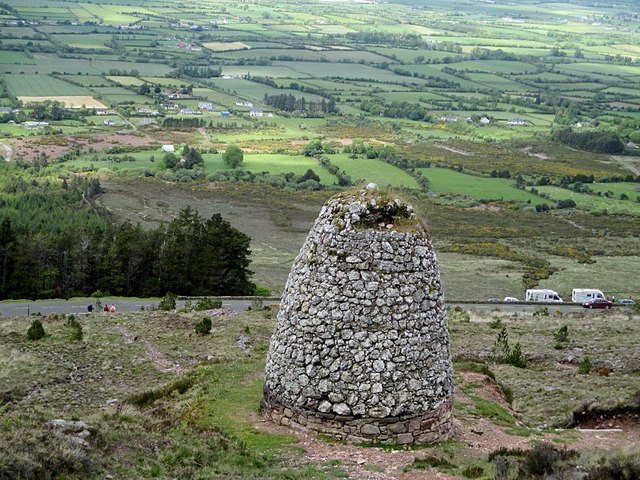
You continue east along pleasant woodland trails before reaching the V-shaped turn on the road after which The Vee Gap is named. You'll reach a height of around 2,000 feet (610m) with wonderful panoramic views over the surrounding mountains and countryside. On a clear day the Vee affords views along and across the valley to Clonmel, Cahir, Ardfinnan, Clogheen, Ballyporeen and even Cashel.
The route then heads north to Goaterbridge and finishing in Ardfinnan where there's a fine old bridge over the River Suir.
The Vee Open Street Map  - view and print off detailed map
Ireland Walking Map - View All the Routes in the Country>>
The Vee Open Street Map  - Mobile GPS Map with Location tracking
Further Information and Other Local Ideas
To the north west you'll find Glengarra Woods where there are two waymarked trails, specimen trees and fine views of the Burncourt River.
Head south and there's the Ballysaggartmore Towers near Lismore. The photogenic gothic towers are surrounded by an historic demesne with peaceful woodland trails to explore. In the town you can pick up Lady Louisa's Walk. The circular loop walk includes a pleasant riverside stretch along the River Blackwater and views of the historic castle and cathedral.
Cycle Routes and Walking Routes Nearby
Photos
The V of 'The Vee'. The sharp hairpin bend is known as 'The Vee' giving its name to the road. The road was constructed as a famine relief project in 1846-7 crossing the Knockmealdown Mountains


