Jubilee River Walk
![]()
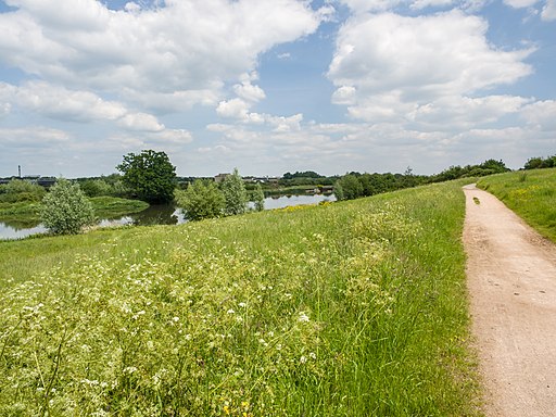
![]() Follow the Jubilee River path from Maidenhead to Eton and Slough on this waterside walk or cycle on the border of Berkshire and Buckinghamshire. It's a delightful, peaceful trail with the gentle river surrounded by attractive woodland and countryside. The river path follows National Cycle Route 61 for most of the way.
Follow the Jubilee River path from Maidenhead to Eton and Slough on this waterside walk or cycle on the border of Berkshire and Buckinghamshire. It's a delightful, peaceful trail with the gentle river surrounded by attractive woodland and countryside. The river path follows National Cycle Route 61 for most of the way.
The route starts in Taplow and heads south past Taplow Lake. The 30 acre lake is popular with swimmers and wakeboarders.
You continue through Dorney, passing Dorney Common and the 15th century Tudor manor house of Dorney Court. The route then heads east passing the pretty village of Eton Wick before finishing in the fields just north of Eton and Windsor. Here you can pick up the Thames Path to extend your walk. The river also passes Dorney Lake where there is a nice surfaced cycling and walking trail with views across the Olympic lake.
Jubilee River Ordnance Survey Map  - view and print off detailed OS map
Jubilee River Open Street Map  - view and print off detailed map
Jubilee River OS Map  - Mobile GPS OS Map with Location tracking
Jubilee River Open Street Map  - Mobile GPS Map with Location tracking
Further Information and Other Local Ideas
For an alternative riverside walk from the town try the Maidenhead River Walk which runs to Windsor. It's about a 7 mile walk along the footpath passing Dorney Lake and Taplow on the way.
For more walking ideas in the area see the Berkshire Walks page.
Cycle Routes and Walking Routes Nearby
Photos
Manor Farm Weir. The Jubilee River was built at a cost of about £110 million to alleviate flooding to areas in and around the towns of Maidenhead, Windsor, and Eton. Although much of the civil engineering works are visible some are hidden. Here, for example, a much smaller watercourse that existed prior to the Jubilee River being built, Roundmoor Ditch, is actually culverted, out of sight, underneath the weir, from one side of the Jubilee River to the other, through a syphon arrangement, ensuring that, as far as possible, the route and function of the original watercourse are maintained both upstream and downstream of the crossing. The weir is known as Manor Farm after a nearby farm through whose land the Jubilee River was constructed. The river was made operational in 2002, and the first real test of its capabilities occurred during the flood event of January 2003, when the south bank here at Manor Farm Weir suffered severe erosion.


