Charles Fort Walk
![]() This popular walk visits a historic coastal fort in Summer Cove, County Cork.
This popular walk visits a historic coastal fort in Summer Cove, County Cork.
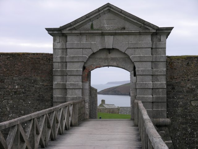
The 17th century Bastion fort sits in a splendid location on Kinsale harbour and is a designated National Monument of Ireland.
You can start your walk from the car park and then follow good footpaths around the site visiting the various fortifications and the Charles Fort Lighthouse. On the way there are some splendid sea views and an interesting museum where you can learn all about the history of the fort.
At the end of the walk you can enjoy some refreshments in the on site tea rooms.
Just to the west of the site there's another hugely popular walk to try at the Old Head of Kinsale. The loop walk explores a fabulous coastal headland with spectacular views and a visit to the memorial to the crew of the RMS Lusitania.
Postcode
P17 AY18 - Please note: Postcode may be approximate for some rural locationsPlease click here for more information
Charles Fort Open Street Map  - view and print off detailed map
Ireland Walking Map - View All the Routes in the Country>>
Charles Fort Open Street Map  - Mobile GPS Map with Location tracking
Further Information and Other Local Ideas
A few miles to the west there's the Seven Heads Walk to try. There's a long circular trail to follow around the peninsula with pretty seaside villages, lovely beaches and bays. The trail is located near the delightful town of Clonakilty. The vibrant seaside town has a fine walk along Clonakilty Harbour to Inchydoney Island where there's a lovely blue flag beach. Near here there's also the deep purple fuchsia on the Courtmacsherry Loop Walk and Galley Head where you can explore the sand dunes at Long Strand beach before heading towards the 19th century lighthouse at the end of the headland.
To the east there's more cliff top walking on the Crosshaven Cliff Walk. This fine circular walk provides wonderful views over Cork Harbour and visits the 16th century Camden Fort Meagher.
To the north of Crosshaven there's the 13th century Blarney Castle to explore. The ancient castle is surrounded by some beautiful grounds and gardens with miles of footpaths to enjoy. Near here there's the circular Cork Marina Walk where you can enjoy fine views over the River Lee and a visit to the 16th century Blackrock Castle.
A little further east you will find the Ballycotton Cliff Walk. The popular cliff top trail runs from Ballycotton village to Ballyandreen along a wonderful cliff top path.
Cycle Routes and Walking Routes Nearby
Photos
Summer Cove: Charles Fort. The Fort is a star fort overlooking Kinsale harbour, built to protect Kinsale from marauding French and Spanish fleets in the 17th century. It was built in the 1670s and 1680s, and was named after King Charles II. It remained in use as a British Army barracks until the end of British rule in southern Ireland, before being abandoned after it was partially destroyed by the retreating anti-Treaty forces during the Irish Civil War in 1922. This is a view taken from the massive gun turret in the south-east corner.
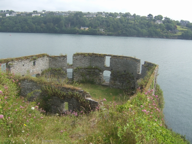
Married Quarters. Built for King Charles II in the 1670s the design is heavily influenced by the French engineer Vauban. The fort was occupied by James II's forces in 1689 and recaptured by William of Orange's Dutch troops in October 1689. The recognised weakness with the fort was the landward side where it is overlooked by higher ground. The garrison surrendered once the outer wall had been breached by artillery fire.


