Lough Avalla Farm Loop Walk
![]() This popular circular walk visits Lough Avalla in the Burren National Park in County Clare.
This popular circular walk visits Lough Avalla in the Burren National Park in County Clare.
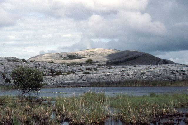
The trail runs for about 7km and is easily identified by standing stone slabs and takes you on a captivating journey. It winds through the historic site of an ancient Celtic farm and briefly follows the picturesque shoreline of Lough Avalla. Along the route, you'll traverse sandy roadways, well-trodden farm tracks, charming laneways, and open expanses of the unique Burren landscape.
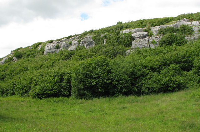
The trail offers a diverse experience, with highlights including an uphill climb to a stone cairn, a stretch of rugged cliffs, and a variety of terrains encompassing stone-laden fields, patches of scrubland, and lush pastures. Throughout your hike, you'll be treated to breathtaking vistas, especially when gazing upon the impressive Mullaghmore peak in the distance. It's a rewarding journey that combines natural beauty, historical resonance, and a touch of adventure.
Lough Avalla Farm Loop Open Street Map  - view and print off detailed map
Ireland Walking Map - View All the Routes in the Country>>
Lough Avalla Farm Loop Open Street Map  - Mobile GPS Map with Location tracking
Further Information and Other Local Ideas
Just to the east is the picturesque Lough Bunny, a Special Area of Conservation with stunning views of Mullaghmore Mountain. Near here you can enjoy more waterside walking on the Gort River Walk. The pleasant circular loop walk runs for about 3km along easy footpaths and country lanes around the historic town.
Head west to the coast and you can pick up the popular Doolin to Cliffs of Moher Walk. The wonderful cliff top hike runs from the little village of Doolin to the Moher Tower at the southern end. There's fabulous sea views and lots of seabirds to look out for on this major local walking highlight. The long distance Burren Way also runs through the village. The trail runs from Lahinch to Corofin with more details of the area on the Lahinch Beach and Cliff Walk.
To the north west you can pick up the Ballyvaughan Wood Loop Walk. On the circular walk you can visit the wonderful Aillwee Cave system with its underground river and waterfall. Near here there's also Flaggy Shore. There's some wonderful geological features and fine views to Aughinish Island, Galway Bay, the surrounding mountains and the wider Atlantic Ocean.


