Lough Mask And Tourmakeady Waterfall Walk
![]() This loop walk visits the Tourmakeady Waterfall next to Lough Mask in south County Mayo in the west of Ireland.
This loop walk visits the Tourmakeady Waterfall next to Lough Mask in south County Mayo in the west of Ireland.
You can find the waterfall in Tourmakeady Woods on the north western side of the lake, near the village of the same name. There is a parking area where you can start your walk through the peaceful woodland to the picturesque waterfall. Near here you can also pay a visit to the photogenic ruins of the ancient Christ Church.
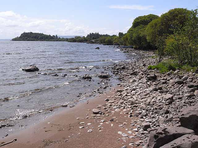
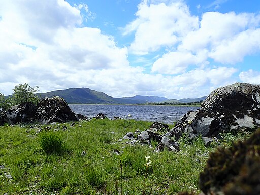
After exploring the woods and the old church the walk then follows a road down to the lake shore and the jetty. Here you can enjoy some fine views across the water to the Partry Mountains and the surrounding countryside.
To continue your walking in the area head south to climb Mount Gable. From the summit you can enjoy some wonderful views over the lough and the coast. The historic Ashford Castle can also be visited in this area. The medieval/Victorian castle includes beautiful grounds, riverside trails and a popular hawk walk. The Cong Forest Nature Loop can also be picked up in this area.
Lough Mask And Tourmakeady Waterfall Open Street Map  - view and print off detailed map
Ireland Walking Map - View All the Routes in the Country>>
Lough Mask And Tourmakeady Waterfall Open Street Map  - Mobile GPS Map with Location tracking
Further Information and Other Local Ideas
Head west and you can visit the stunning Killary Fjord. There's some wonderful scenery here with the photogenic fjord flanked by the mountains of Mweelrea and Ben Gorm.
Cycle Routes and Walking Routes Nearby
Photos
Boats on Lough Mask. At the site of a small jetty, car park and picnic site to the north of Toormakeady.


