Mount Gable Walk
5.3 miles (8.5 km)
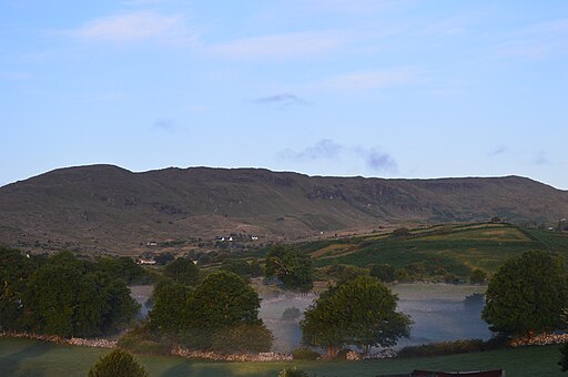
![]() This circular walk climbs to the 1370 feet high Mount Gable in County Galway.
This circular walk climbs to the 1370 feet high Mount Gable in County Galway.
Start the walk from the car parking area to the south east of the hill. From here you can head north west along the path to the hill top.
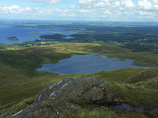
From the summit there are some fabulous views over Lough Coolin, Lough Mask, Lough Corrib, Lough Carra, Lough Naffoey, Galway Bay and the Aran Islands.
The walk then loops round past Coolin Lough before turning south to return to the car park.
Just to the south is Lough Corrib, the largest lake within the Republic of Ireland. You can pick up the Western Way here and enjoy a nice walk along the lake.


