Portacloy Loop Cliff Walk
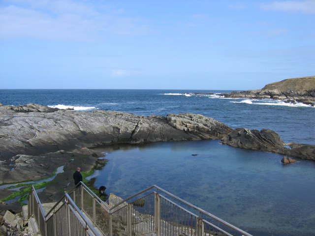
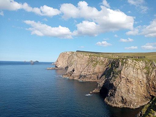
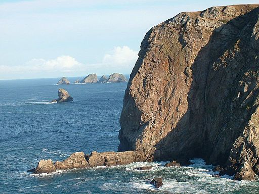
![]() This popular cliff top walk takes you along a spectacular section of coast in County Mayo.
This popular cliff top walk takes you along a spectacular section of coast in County Mayo.
On the way there's beautiful beaches, wonderful rock formations and fabulous views to the crystal clear wates of the sea below.
The circular trail runs for about 18km and starts and finishes from Portacloy Beach.
Please note the map below shows just the start/finish point of the walk at Portacloy Beach. From here you can pick up the trail which is marked with signposts.
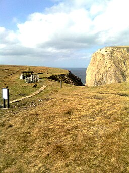
It's a good path but with some wet sections so a good pair of hiking boots is reccomended. On the way look out for the WWII lookout post where EIRE 63 is spelled out in rocks on the ground as a marker for early aviators.
To continue your walking in the area head south to try the Carrowteige Beach Loop Walk where there's some more wonderful views.
Portacloy Loop Cliff Walk Open Street Map  - view and print off detailed map
Ireland Walking Map - View All the Routes in the Country>>
Portacloy Loop Cliff Walk Open Street Map  - Mobile GPS Map with Location tracking
Further Information and Other Local Ideas
Head east along the coast and you could visit the noteworthy Ceide Fields. The fascinating archaeological site includes the oldest known stone-walled fields in the world, dating back nearly 6,000 years. Near here there's also the Lacken Loop and Downpatrick Head where there's a striking headland and a photogenic sea stack to admire.


