Carrowteige Loop Walk Map
![]() This walk follows the Carrowteige Beach Loop Walk in County Mayo.
This walk follows the Carrowteige Beach Loop Walk in County Mayo.
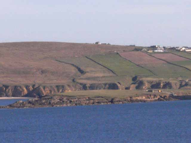
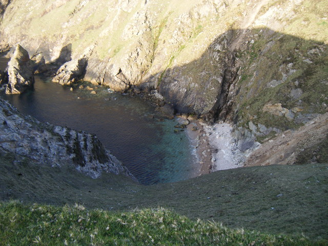
The circular trail runs for about 6.5km and takes you to the picturesque cove at Carrowteige Beach. On the way there's some fabulous views of the rugged cliffs, Broadhaven Bay and the Atlantic Ocean in this beautiful remote part or Ireland.
The lonely Planet walking Guide described it as “The finest sustained coastal walk with a profusion of cliffs, crags, caves, chasms and islands along the remote North Mayo Coast”.
There are three other waymarked loop walks in the area with more details on the link below. The popular trails are more challenging and longer than this one. For example you could head north to Portacloy Beach and pick up the Portacloy Loop Cliff Walk.
Please click here for more information
Carrowteige Loop Walk Open Street Map  - view and print off detailed map
Ireland Walking Map - View All the Routes in the Country>>
Carrowteige Loop Walk Open Street Map  - Mobile GPS Map with Location tracking
Further Information and Other Local Ideas
To the south in Bangor Erris there's the trail head of the Bangor Trail. The challenging long distance hike exposes you to the remote and mountainous scenery of the Wild Nephin National Park.
To the south west there's the Erris Head Loop Walk to try. The popular circular walk explores a wonderful coastal headland with lots of seabirds and fabulous views.
Head east along the coast and you could visit the noteworthy Ceide Fields. The fascinating archaeological site includes the oldest known stone-walled fields in the world, dating back nearly 6,000 years. Near here there's also the Lacken Loop and Downpatrick Head where there's a striking headland and a photogenic sea stack to admire.


