Erris Head Loop Walk
![]() This popular circular walk visits Erris Head in in northwest County Mayo near Belmullet.
This popular circular walk visits Erris Head in in northwest County Mayo near Belmullet.
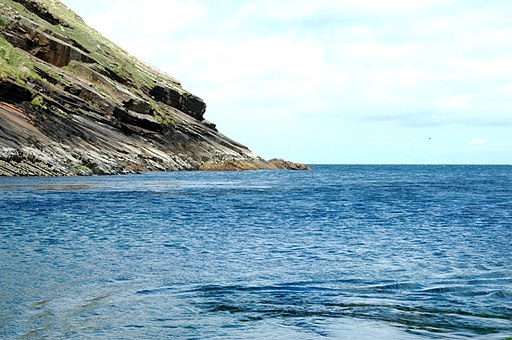
The loop takes you around the northernmost point on the Mullet Peninsula with fantastic sea views and rocky cliffs. The area is also great for wildlife with lots of seabirds and seals to look out for on the way. Keep your eyes peeled for fulmars, great black-backed gulls, peregrine falcons and choughs as you make your way along the 5km (3 mile) trail.
Start the walk from the loop walk car park and then head north along the trail following the waymark posts. Along the way there's information boards, boardwalks and grassy paths.
Erris Head Loop Walk Open Street Map  - view and print off detailed map
Ireland Walking Map - View All the Routes in the Country>>
Erris Head Loop Walk Open Street Map  - Mobile GPS Map with Location tracking
Pubs/Cafes
The Cliffside Treats kiosk is next to the car park so you can enjoy a nice hot drink after your exercise.
Dog Walking
Dogs are not allowed on the path due to the area's resident sheep.
Further Information and Other Local Ideas
Head north into Donegal and you could visit one of the highlight's of the area at Slieve League. Here you'll find a spectacular coastal path along some of the highest cliffs in Europe.
Just to south you can pick up the Great Western Greenway at Achill. The shared cycling and walking route follows a disused railway line from Achill to Westport.
Just to the south east in Bangor Erris there's the trail head of the Bangor Trail. The challenging long distance hike exposes you to the remote and mountainous scenery of the Wild Nephin National Park.
To the east there's the Carrowteige Loop Walk and the Portacloy Loop Cliff Walk. This remote area has a number of excellent waymarked trails with fine views over Broadhaven Bay from the rugged cliff tops.

