Sky Road Walk
![]() This walk visits the Sky Road in the Connemara region of County Galway.
This walk visits the Sky Road in the Connemara region of County Galway.
It's a splendid walk or cycle along the road with wonderful coastal views for most of the route.
There's a small parking area just off the Sky Road, to the north east of Clifden Castle. You can take a small detour from the route to explore the estate surrounding the 19th century ruined manor house if you have time. This route follows the road west before returning along the Lower Sky Road which runs right next to the sea.
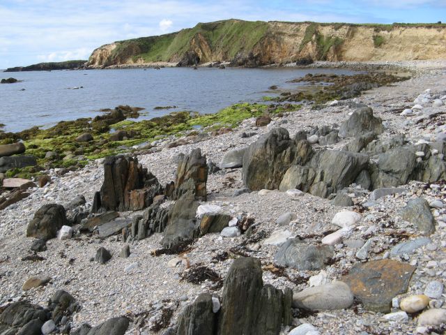
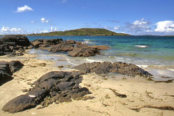
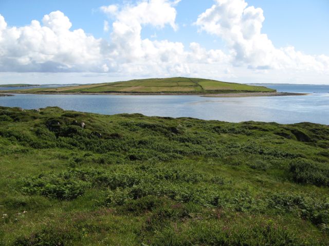
You can also visit the Kingston Peninsula and enjoy some amazing views over Clifden Bay to Inishbofin island. At the western end of the walk there's also Eyrephort Beach to visit. Here you can enjoy some interesting rock formations and go for a paddle if the weather is fine.
Sky Road Open Street Map  - view and print off detailed map
Ireland Walking Map - View All the Routes in the Country>>
Sky Road Open Street Map  - Mobile GPS Map with Location tracking
Further Information and Other Local Ideas
Just to the south of the castle there's Derrigimlagh Bog where you can visit two interesting historic sites. The remote and secluded location served as the crash site for John Alcock and Arthur Whitten Brown in 1919, during their historic non-stop flight across the Atlantic. There is a memorial here to commemorate the event. The site is also the location of the Marconi wireless transmitting station.
Nearby you can also explore the beautiful grounds of the 18th century Ballynahinch Castle. Here you can enjoy beautiful gardens, a picturesque lake, ancient woodland and glorious views of the surrounding Twelve Bens mountain range.
To the north west there's Cleggan where you can catch the ferry to the beautiful Inishbofin island. There's a waymarked circular loop walk here passing rugged cliffs, a photogenic ruined fort, pretty lakes and stone beaches. Near here there's also Clare Island which you can reach from Roonagh Pier near the small town of Louisburgh. The island has strong associations with the notorious Grace O'Malley, the 'pirate queen' of the 16th century.


